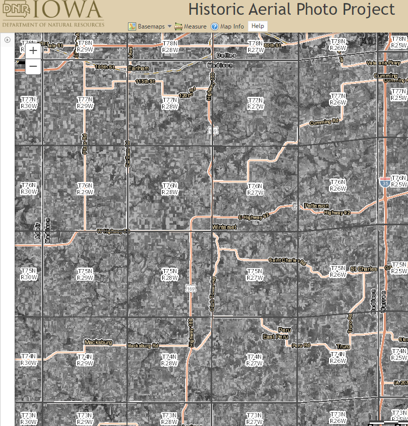
Madison County Maps
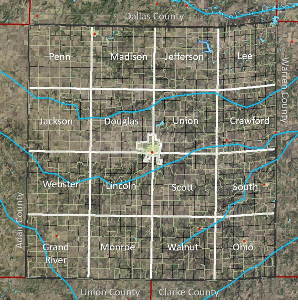
Map with Township Names in Madison County
Click the photo to enlarge.
For watershed maps, please visit our Watersheds webpage.
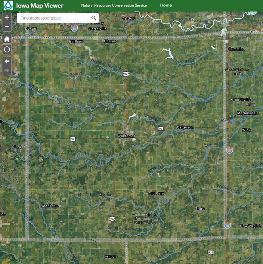
For soil maps, use the Iowa Map Viewer (below) or Web Soil Survey link on the Madison County Soils webpage.
Partners’ Mapping Resources
Geographic Information Systems (GIS) resources provided by the Iowa NRCS
Mapping and GIS resources provided by the Iowa DNR, including Web Mapping Applications such as the Historic Photography Viewer
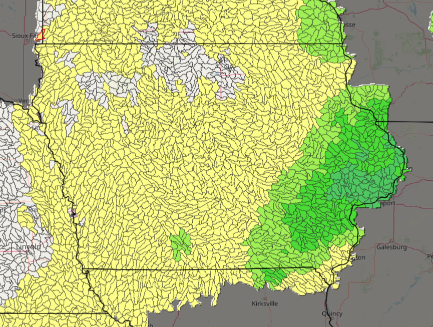
The Daily Erosion Project, provided by Iowa State University, estimates soil erosion and water runoff occurring on hill slopes in Iowa and surrounding states.
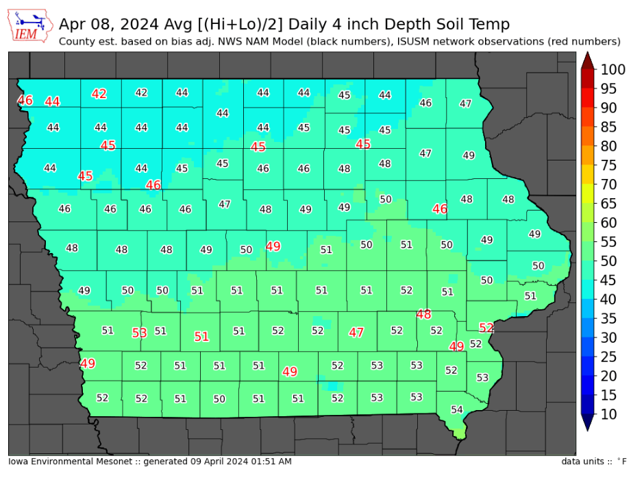
County 4 inch Soil Temperature Maps provided by Iowa State University’s Iowa Environmental Mesonet